So how does one locate a destination suitable to the experience they seek? You can only glean so much info from staring at a satellite image on Google maps and even the web will leave you wanting for information on the more remote destinations as I found when researching Lake McCloud in my previous post. The largest online resource is www.paddling.net. It's ok, but the user interface is at best clunky and there isn't much in the way of CA content. There is a small Nor-Cal specific web-forum called www.norcalcanoeing.com but it's just getting started. I'm a member there and we are trying to build the database of destination information but it's going to take time and more participating members to turn it into a good resource. Paddling is an ancient art, and it seems the dissemination of information regarding paddling is best or at least most commonly done by a similarly "old school" means. Books. The intent of this post is to briefly review a few of best.
There are four different resources that I find myself referring to when researching a future trip.
Paddling Northern California - By Charlie Pike
Up The Lake With A Paddle (Vol 1-4) - By William Van Der Ven
Paddling The California Highlands - By John Coale
Kayaking California's Flat Waters - By Janice L. Green
Though there is some overlapping content, perhaps 25% of the total, between the four they are each quite different in the presentation of the content and the type of detail given.
Paddling Northern California - By Charlie Pike
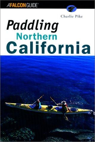
Each destination is given a description regarding the type of paddling, skill level recommended, types of suitable craft, best season to visit and major hazards. This if followed by a brief overview that often includes a bit of history on the location and a description of the paddle that gives one the best chance to take advantage of prevailing wind and weather. The entries terminate with directions to the destination and references for camping reservations or permits.
Up The Lake With A Paddle (Vol 1-4) - By William Van Der Ven

There is A LOT of information contained in this 4 book set and Mr. Van Der Ven has included a wide variety of different destinations. There is no river or whitewater content in the series. But regardless if you are looking for a tiny alpine lake on which to float more than paddle or a very large lake for a more ambitious day on the water you will likely find something to suit your fancy. Of the four resources, this series provides by far the greatest level of detail. The driving directions are excellent, and some of the destinations require rather convoluted forest road routes so that detail will be appreciated. Further, he gives you a recommendation on the vehicle restrictions where pertinent. It would be a drag to get almost to your destination only to find out that your 2002 Civic just wont make it the last 2 miles because the road is too rough and for some of the destinations in the books you will need a high clearance or 4x4 vehicle.
Mr. Van Der Ven is a Geologist and Naturalist and provides a wealth of information on the spectacular geology that surrounds the various destinations and on the rich Gold Rush era history that impacted the scenery and the very existence of many of the lakes. He provides excellent information on much of the flora and fauna that is native to the areas around the lakes though he does get a bit flowery in his descriptions in the later volumes. It's more a glimpse into his passion though rather than an annoyance.
Each entry in the books begins with a difficulty assessment with caveats for weather conditions where applicable. After that he provides a description of the total paddle trip distance and distances between major landmarks therein. There is accurate data on the size of the body of water and references to applicable USGS maps. This is followed by a brief overview of the history and driving directions. He then provides a "Heads Up" section that includes a mix of information on best times to visit, fishing opportunities, local amenities (the last place to buy something you might have forgot....good info to have!) and references for camping reservations. He then gets into very granular detail of the paddle including a recommended route to take advantage of prevailing winds and sun for the photographically inclined. He provides guidance to interesting geological and historical landmarks at the destinations with detailed descriptions. One of my favorite features in this series is that he provides info on whether or not "dispersed" camping is allowed at the destination and even provides guidance to excellent dispersed camping locations in addition to established "official" campgrounds of both the drive-in and boat-in variety.
Paddling The California Highlands - By John Coale
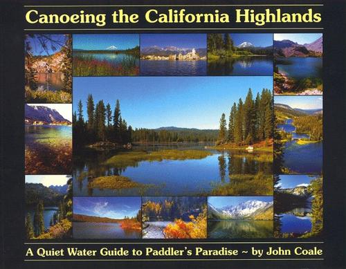
The first portion of the book is very interesting. Sharing the pagespace with the commonplace content about safety, training, what to bring and such are beautiful drawings of Voyaging canoes, photos (including one of the authors adorable daughter), outdoor themed quotations and poetry some of which penned by the author. Pretty interesting stuff and not a feature found in any of the other guides. It really speaks to the passion Mr Coale has for paddling and for his book project.
Each of the destination entries in the book features a few photos (B&W) and a general area map. Though to scale, there isn't a great deal of detail in said maps. The text content begins with a paragraph or two about the destination including it's size and the general character (relaxing float vs quick paddle vs big lake) and of other points of interest such as access to hiking trails and suggested side trips. He gives information about camping opportunities but it is restricted to "official" state, county, USFS & PG&E campgrounds. There is no indications about dispersed camping opportunities or whether it's allowed at all at a given destination. He gives excellent driving directions to the destinations with odometer readings between key intersections. This is followed by USGS map references, contact phone numbers for applicable National Forest or other agencies and advisories pertinent to availability of potable water sources, seasonal road closures and weather notes.
Kayaking California's Flat Waters - By Janice L. Green

The book is similar to Mr. Pikes in the variety of destinations covered. There are littoral marine zone destinations, and both foothill and alpine lakes. There is no whitewater content though as the title would suggest.
Each destination entry begins with contact information for pertinent agencies followed by the size of the body of water. This is followed by a brief "paddle notes" section that is more of an overview than a detailed guide. After this is information about seasonal closures and fees where applicable. The author does provide excellent information of prevailing weather conditions including average seasonal day/night temperatures which is often very difficult information to find. There is pretty good information about the terrain to expect at the destination relative to shoreline accessibility and potential hazards. The author also gives good information with contact info for camping at and around the various destinations though there very few for which she provides definitive info on dispersed camping. The driving directions provided are very detailed though odometer readings between turns are not provided.
In addition to the ability to print out individual pages, this "book" provides another feature not found in the others in that where applicable the author provides fairly good fishing information regarding available species and recommended method of take (trolling, fly fishing etc).
I recommend each of the four works reviewed here. Though there is some repetition of content, each of them has a significant percentage of the content which is only found therein and not in the others. I find myself reading the "Up The Lake" series most often as there is so much interesting content beyond just that which pertains to the paddling itself so I'd have to say that this is my favorite. Further, the greater focus on camping locations speaks to my needs as canoeing into a remote campsite is the type of paddling I prefer to do. That said, both "Paddling The California Highlands" & "Kayaking California's Flatwaters" provide a greater total number of destinations covered and they each have unique and valuable information and features. I'd strongly suggest you acquire each of them and if you have a favorite guidebook or online resource for Northern California that Ive not discovered please leave a comment below. I'd love to hear about it.
Very interesting review of my book. Thank you for the feedback.
ReplyDelete"There is no whitewater content though as the title would suggest."
"Kayaking California's FLAT Waters" is referring to lakes, bays, harbors, and a handful of slow moving rivers that are flat bodies of water.
I am not sure what part of the title suggests the books features white water kayaking.
I decided against printing the book, and use the PDF format, in order to keep the information up to date. Also it was too costly to print the book in color. Plus I wanted the images in color.
You are right about the advantage of the pdf is the information can be printed out, whereas on the web site it cannot.
The advantage of the web site is it allows me to add more information than what would fit on a 8.5 x 11" page, and update the information more often.
Thanks again for sharing your feedback.
Janice Green
Author
Kayaking California's Flat Waters